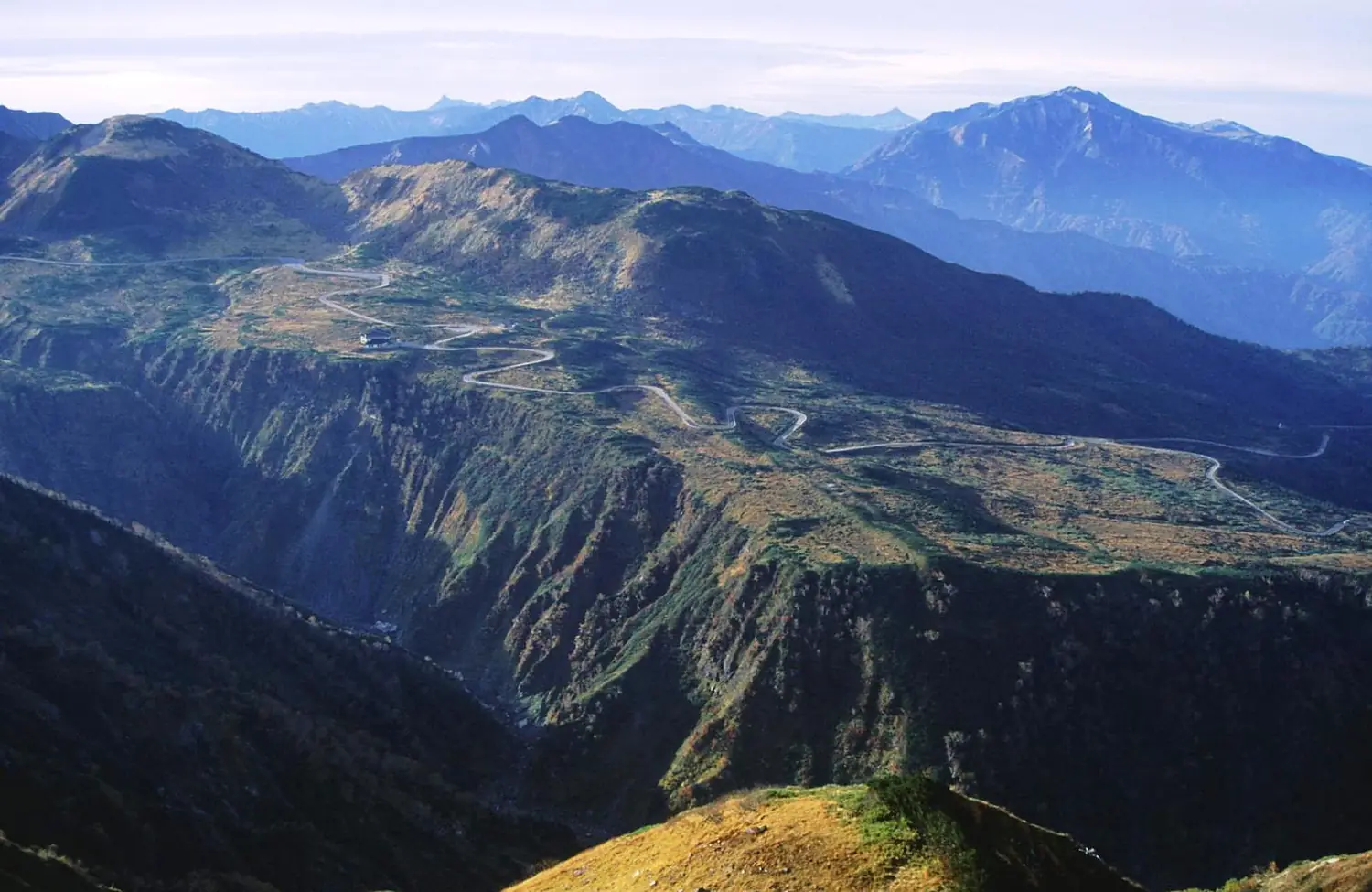
 Japan Ramsar wetland
Midagahara
32 bird species recorded; the most from June to July.
Alpsdake · CC BY-SA 3.0
This month here
0 species in January.0 species in February.0 species in March.7 species in April.16 species in May.21 species in June.21 species in July.16 species in August.11 species in September.12 species in October.3 species in November.0 species in December.
The birds you are most likely to see in the month you choose, those that come for the season first. It opens on today's month.
No records for this month.
No records for this month.
No records for this month.
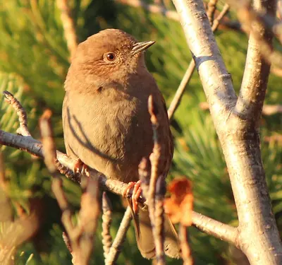
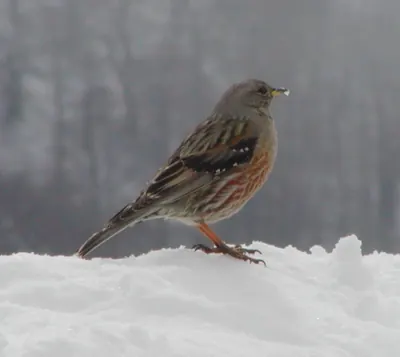
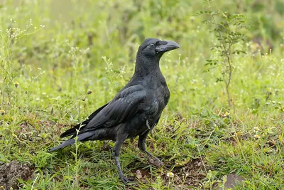
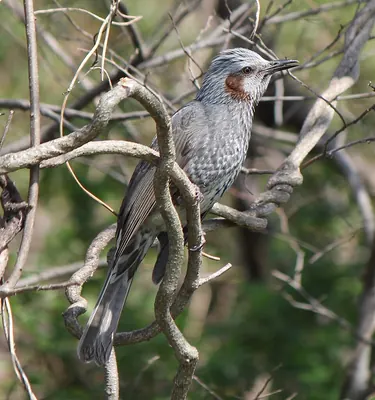
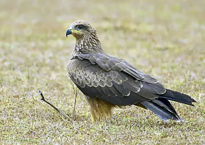
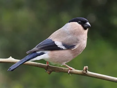
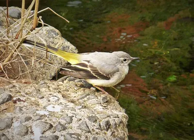
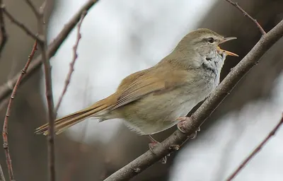
No records for this month.
- Resident all year
- Summer visitor comes to breed
- Winter visitor comes for the winter
- Passage migrant in spring and autumn
In numbers
32 species, counted.
Our own rating, from the records only: species (50 points), threatened species (20), migrants (20) and protected status — Ramsar, IBA, SPA, observatory (10).
- 32Speciesrecorded more than once
- 14Migrantssummer, winter or passage visitors
- 0ThreatenedVulnerable, Endangered or Critically Endangered (IUCN)
- 486Recordsopen records within 6 km
- 1,713 mAltitudeabove the sea
- 3Raptors
- 23Songbirds
- 6Other birds
From open records (eBird and others, through GBIF, licensed for any use). More birdwatchers mean more records: a quiet place may have more birds than it shows.
The checklist
All 32 species.
By group, with the year in twelve cells: the darker the cell, the more often the bird is recorded that month.
Raptors3 species
- Black KiteMilvus migrans
- Japanese BuzzardButeo japonicus
- Common KestrelFalco tinnunculus
Songbirds23 species
- Japanese AccentorPrunella rubida
- Asian House MartinDelichon dasypus
- Japanese Bush WarblerHorornis diphone
- Alpine AccentorPrunella collaris
- BullfinchPyrrhula pyrrhula
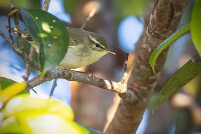
- Japanese Leaf WarblerPhylloscopus xanthodryas
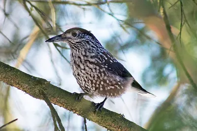
- Northern NutcrackerNucifraga caryocatactes
- Grey WagtailMotacilla cinerea
- Large-billed CrowCorvus macrorhynchos
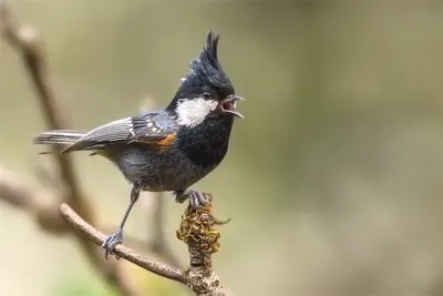
- Coal TitPeriparus ater
- Eurasian WrenTroglodytes troglodytes
- Brown-eared BulbulHypsipetes amaurotis
- White WagtailMotacilla alba
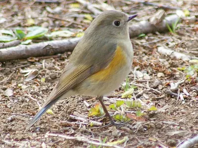
- Red-flanked BluetailTarsiger cyanurus
- Meadow BuntingEmberiza cioides
- Grey BuntingEmberiza variabilis
- Blue-and-white FlycatcherCyanoptila cyanomelana
- Japanese RobinErithacus akahige
- Grey-capped GreenfinchChloris sinica
- Poecile variusPoecile varius
- SkylarkAlauda arvensis
- Carrion CrowCorvus corone
- Barn swallowHirundo rustica
Other birds6 species
- PtarmiganLagopus muta
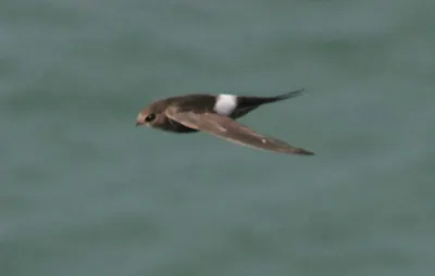
- Pacific SwiftApus pacificus
- Copper PheasantSyrmaticus soemmerringii
- House SwiftApus nipalensis
- Lesser CuckooCuculus poliocephalus
- Japanese Pygmy WoodpeckerYungipicus kizuki
Monthly presence relative to all bird records that month, so a busy month does not inflate every species.
When to go
The most species from June to July.
Species recorded in each month, with the usual temperature and rain.
- Jan-2°/-8°158 mm
- Feb-1°/-8°108 mm
- Mar3°/-5°121 mm
- Apr11°/0°112 mm
- May17°/6°110 mm
- Jun21°/12°147 mm
- Jul24°/16°226 mm
- Aug25°/17°162 mm
- Sep21°/13°181 mm
- Oct14°/6°159 mm
- Nov8°/0°142 mm
- Dec1°/-5°184 mm
- Bar: species recorded that month.
- Temperature: average maximum / minimum (NASA, 1991–2020).
- Rain: monthly total.
The place
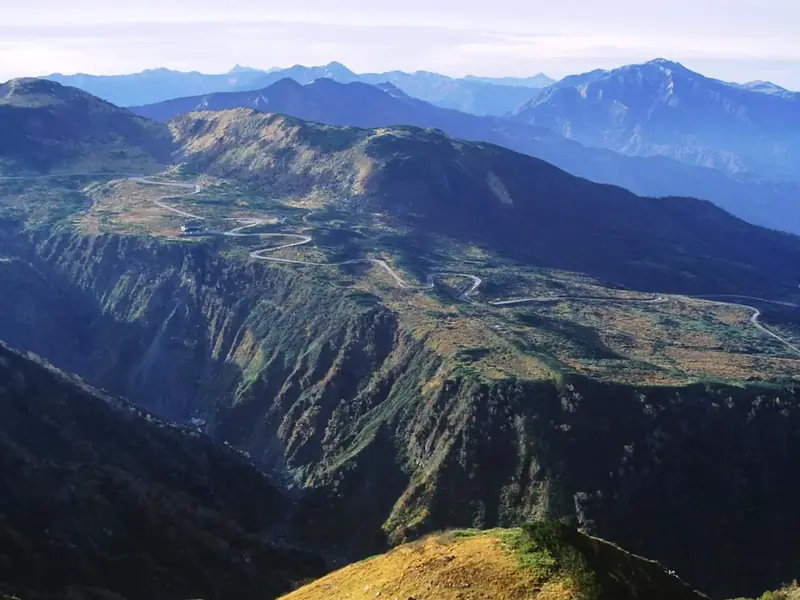
Midagahara.
Wetland on the island of Honshu,J apan
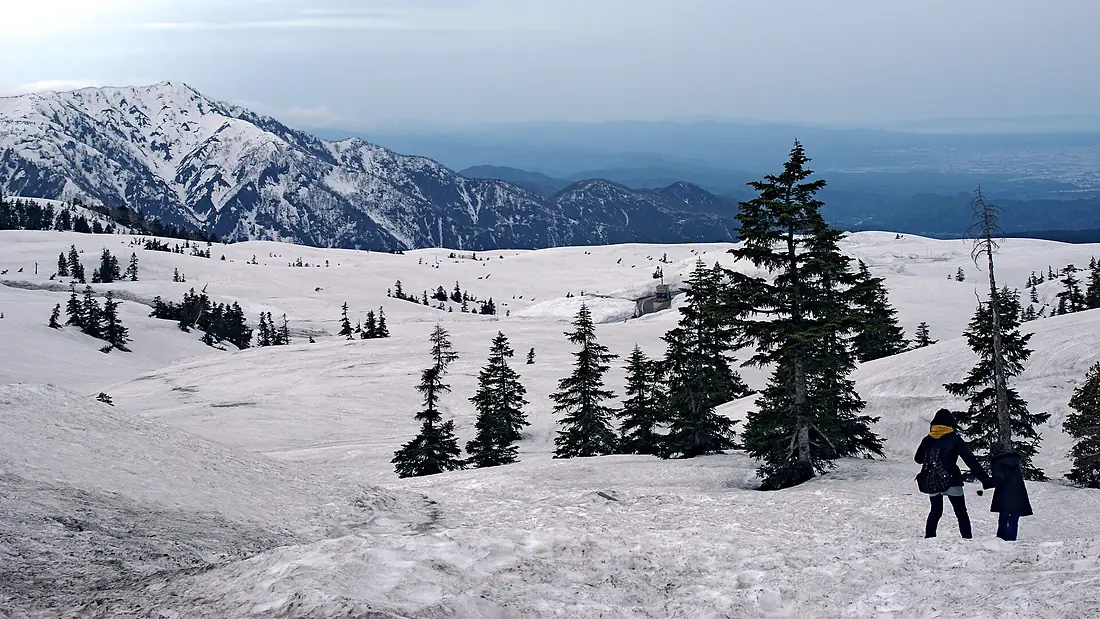
Midagahara is a wetland of international importance (Ramsar) in Japan, 1,713 m above the sea.
32 bird species have been recorded here more than once, in 486 open records.
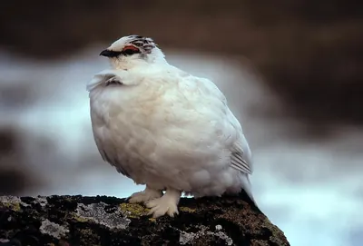
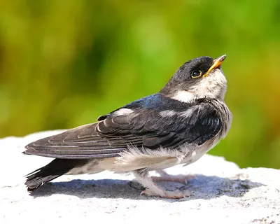
The most recorded are the Ptarmigan, the Japanese Accentor and the Asian House Martin.
12 species come for the summer, 2 for the winter and 0 only pass through.
The most species are recorded from June to July.
Get there and watch
- 雷鳥沢キャンプ場campsite · 6.5 km · 4 within 10 km
- 立山荘place to stay · 2.1 km · 31 within 10 km
- Kamiichinearest town · 21 km in a straight line
- Toyama Kitokito Airport (TOY)nearest airport with scheduled flights · 32 km in a straight lineCar hire at TOY airport (Toyama)Discover Cars · sponsored link↗
Plan the visit
A guided walk, a bed nearby, a car.
Some links above are affiliate links: if you book through them we may earn a commission, at no extra cost to you. It never changes what the data on this page says.
From above
The place and its surroundings.
The satellite image of the 6 × 6 km around the place, with the bird hides, towers and trails that OpenStreetMap shows.
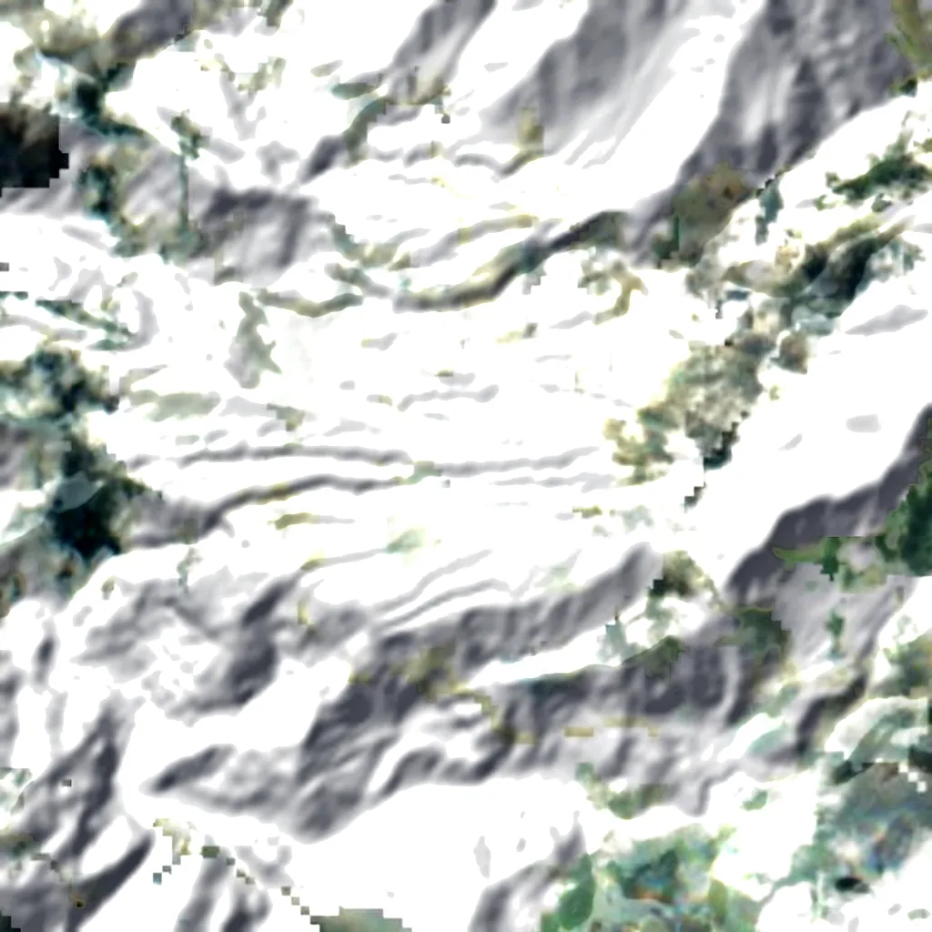
Around, in OpenStreetMap
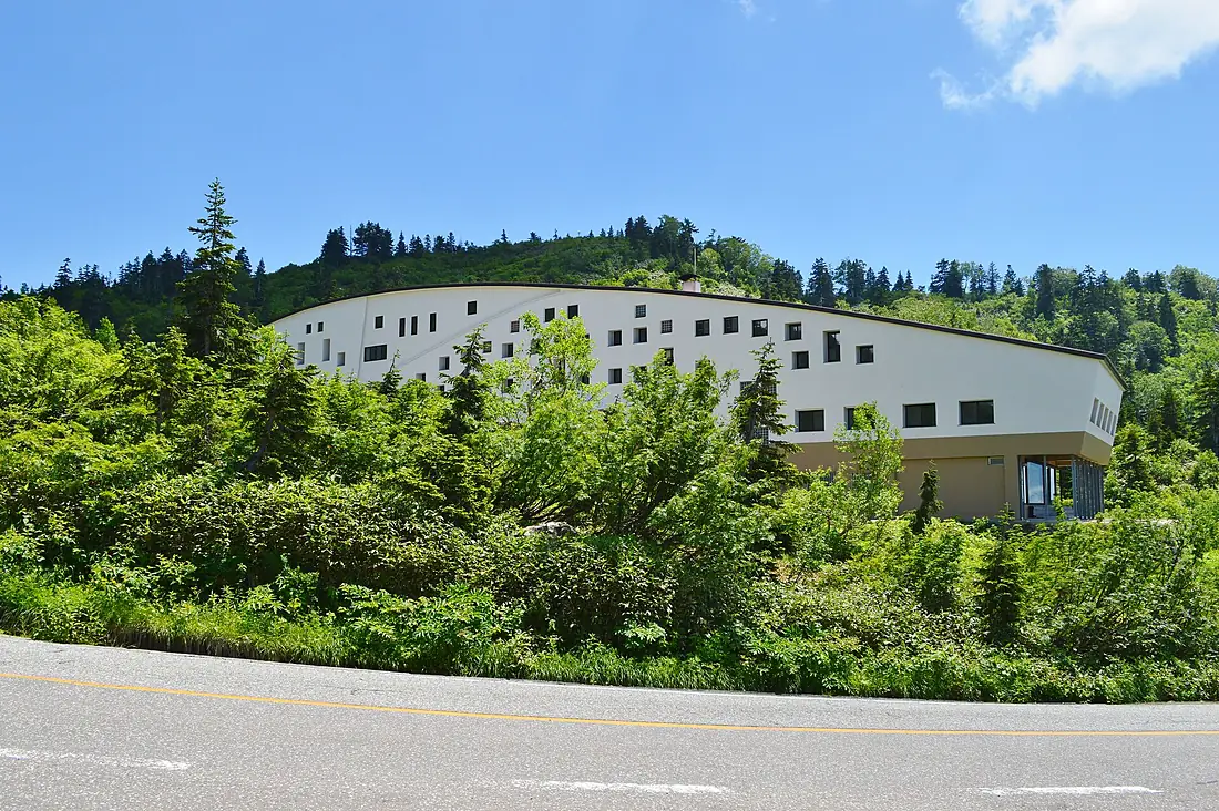
- 1visitor centres within 6 km富山県立山センター立山自然保護センター
- 2viewpoints within 5 km立山カルデラ展望台, 滝見台
- 5car parks within 3 km
- 1restaurants and cafés within 3 km
- 4campsites within 10 km雷鳥沢キャンプ場, スゴ乗越小屋テント場, 劔沢キャンプサイト and 1 more
- 31places to stay within 10 km立山荘, みくりが池温泉, らいちょう温泉雷鳥荘 and 28 more
- bird hides within 6 km
- observation towers within 6 km
- marked trails within 4 km
Counted in OpenStreetMap, the map anyone can edit. A low number may just mean nobody has mapped it yet.
In our other atlases
Around Midagahara.
The lakes, beaches, islands, rivers and mountains around this place, and its night sky, in the family's atlases.
 Peakyas96 mountains within 25 km
 Darkskyas2 dark-sky places within 30 km
Figures from the sister sites' databases (Wikidata, HydroATLAS, GeoNames, OpenStreetMap). Links open when each site is online.
Photographs
The place, as people saw it.

Other places nearby.
Midagahara
Japan
- 34Birdyas Score
- 32Species
- 14Migrants
- 0Threatened
Where these figures come from
| Name and type | Wikidata (Q11487481) · CC0 |
|---|---|
| Birds | 486 open bird records within 6 km (GBIF, CC0 and CC BY 4.0 only; mostly eBird, Cornell Lab of Ornithology) |
| See these records | gbif.org |
| Species | GBIF Backbone Taxonomy · CC BY 4.0; Wikidata (CC0); Wikimedia Commons |
| Altitude | Copernicus DEM GLO-30 · © DLR e.V., © Airbus Defence and Space GmbH, Copernicus/ESA |
| Temperature and rain | NASA POWER (CERES SYN1deg, 2001–2020; MERRA-2) |
| What is around | © OpenStreetMap contributors · ODbL |
| Images | EOX Sentinel-2 cloudless 2016 · CC BY 4.0; Wikimedia Commons |
| Sister atlases | Peakyas, Islandyas, Darkskyas, Canyonyas, Cascadyas |
Every figure is an average, an estimate or a count from a public dataset. Licences and methods: data sources.
The family
Do you prefer beaches, lakes, mountains, waterfalls, islands, rivers, canyons, caves, dark skies, viewpoints, birdwatching or forests?
Same idea, other landscapes: field atlases built on open data, in seven languages.
 beaches
 Find your beach: sea temperature, sun and swimming month by month.Visit
  lakes
lakes Every lake on Earth: water temperature, ice, depth and the shore.Visit mountains
 Every summit in 3D: summit weather, the 0 °C line, huts and trails.Visit
  waterfalls
 Every waterfall: height, flow month by month and when it roars.Visit
  islands
 Every island from the sea up: size, sea temperature, ferries and 3D.Visit
  rivers
 Every river from source to sea: the journey, the flow and the basin in numbers.Visit
  canyons
 Every canyon cut to scale: depth to the floor, rim and floor temperatures, trails and viewpoints.Visit
  caves
caves Every cave with its real depth and length: the rock above, the temperature inside all year, and how to visit.Visit dark skies
 Where the night is still dark: the sky of every place, the Milky Way month by month, the Moon, eclipses and auroras.Visit
  viewpoints
 Every viewpoint with its real 360° panorama: the peaks you can name, how far you see and where the sun sets.Coming soonVisit
  birdwatching
 Every bird sanctuary and wetland with the species recorded month by month: who is resident, who comes for the summer, who only passes through.You are here
 forests
 Every forest with its land-cover rings, what grows and lives in it, and the best months to walk it.Coming soonVisit